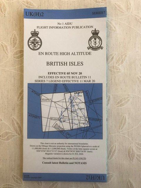
RAF AIDU UK(H)2 High Altitude En-route Aeronautical Chart.
This advert is located in and around Malpas, Cheshire
Currently displaying 1 of2 images
Advert Description
RAF AIDU UK(H)2 High Altitude En-route Aeronautical Chart. A chart of the higher level airspace and airways in the UK. This edition has expired so should not be used for flight planning, but is a useful reference for an aviation enthusiast for flight sim use or general interest. Very good condition. It has "Info Only" written on the front, presumably due to it having expired.