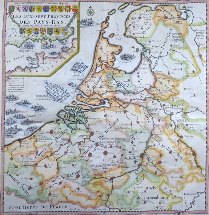
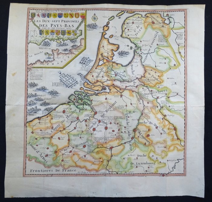
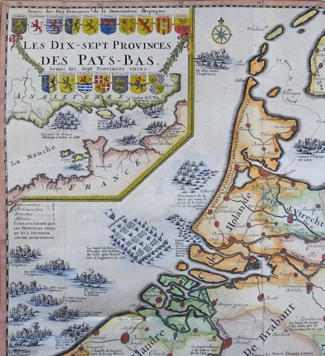
Netherlands, België, Luxemburg - Lage Landen, 17 Provinciën; Malherbe - Les Dix Sept Provinces des
This advert is located in and around London, SPAIN
Currently displaying 1 of3 images
Advert Description
Are you interested in this item? This item is up for auction at Catawiki. Please click on "respond to advert" (orange button) to get redirected to the Catawiki website. Catawiki’s goal is to make special objects universally available. Our weekly auctions feature thousands of unusual, rare, and exceptional objects you won’t find in just any store. Large map of the Benelux (17 Provinces of the Low Countries) showing the locations of all important battles and naval battles of the 16th and 17th centuries. The title is surrounded by the coats of arms of the 17 provinces.
The rare map was made by J. Malherbe in Amsterdam and published in 'Histoire abregée des Païs-Bas (...)', 1701.
Chatelain was a student of Malherbe and would later republish this map.
Good condition, with folds as published. Some reinforcements and repairs on the folds and some light browning. Otherwise excellent.