
Advert Description
Are you interested in this item? This item is up for auction at Catawiki. Please click on "respond to advert" (orange button) to get redirected to the Catawiki website. Catawiki’s goal is to make special objects universally available. Our weekly auctions feature thousands of unusual, rare, and exceptional objects you won’t find in just any store. Superb edition in perfect condition and complete with these 16 fine plates of this reference work by the famous self-taught mathematics professor Jacques Ozanam -
This book was very popular and was first published in 1693 -
It contains several chapters on sea mapping -
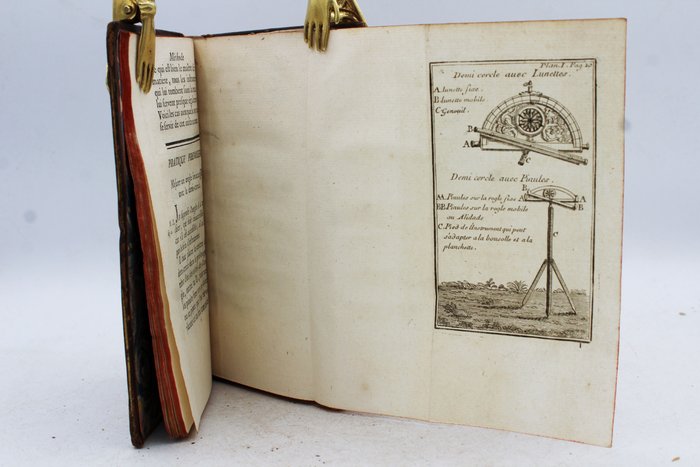
The panels show measuring instruments and geometric figures such as the semi-circle with glasses, the universal instrument or the Huygens level for surveying as well as the use of a cranesbill -
"Ozanam taught mathematics in Lyon and Paris. He promoted mathematics through his treatise on the lines of the second order.
His contributions consisted of popular treatises and reference works on useful and practical mathematics.
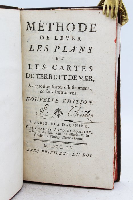
Jacques Ozanam - Method of Surveying Plans and Maps of Land and Sea With all kinds of instruments, and without instruments - 1755
Good condition of the binding, work in its full calfskin, good condition of the covers and spine, friction from use, rubbed corners and caps, spine with raised bands, red edges, gilt title and volume number on morocco pieces -
Good interior condition, small headbands, tailpieces, work adorned with 16 superb very beautiful folding plates, marbled flyleaves -
Delivery service guaranteed within a few days - 67372811