
Advert Description
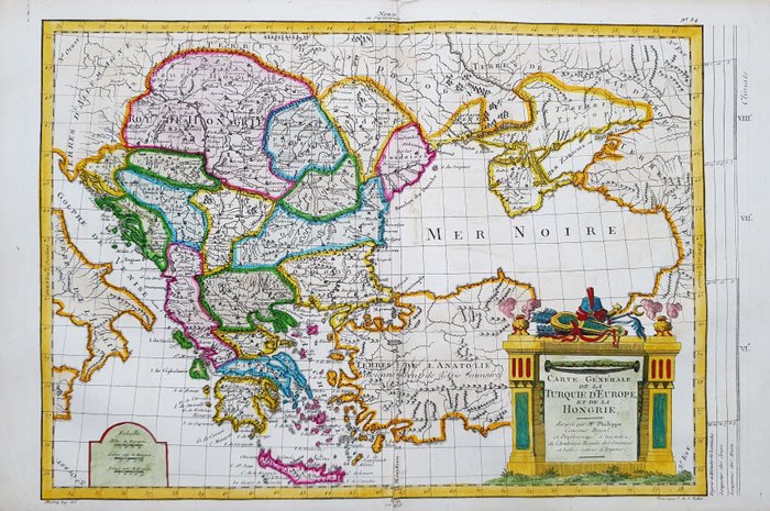
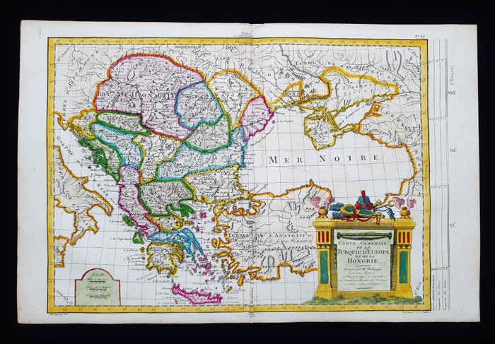
Are you interested in this item? This item is up for auction at Catawiki. Please click on "respond to advert" (orange button) to get redirected to the Catawiki website. Catawiki’s goal is to make special objects universally available. Our weekly auctions feature thousands of unusual, rare, and exceptional objects you won’t find in just any store. - This Geographic Map is an original copper engraving from 1787.
- This is a beautiful and decorative map by ETIENNE M. PHILIPPE de PRETOT, published in PARIS, (FRANCE...) in 1787, in the edition: "Atlas Universelle par l'etude de la Geographie....... .".
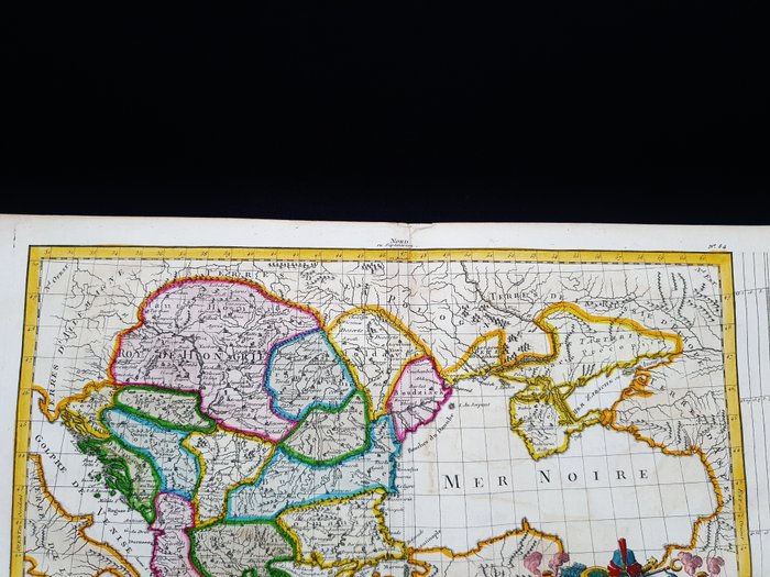
- Beautiful well preserved copper engraving, stunning map full of geographical details and much more.
Map perfectly intact in every part, with original and excellent watercolor;
- Condition: the conditions are quite good, as shown in the photos, with a small cut and a very small restoration in the lower central area on the back.
- The overall measurements of this map are: 46 x 30 cm 67533105