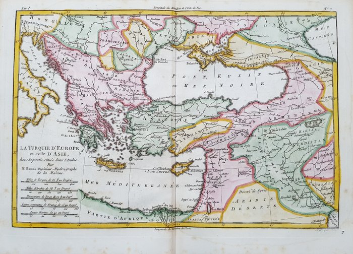
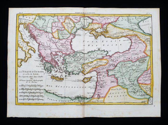
Turkey, Turkey in Europe & Asie, Greece, Balkans, Armenia, Ukraine, Cyprus; Rigobert Bonne - Turqui
This advert is located in and around London, ITALY
Currently displaying 1 of3 images
Advert Description
Are you interested in this item? This item is up for auction at Catawiki. Please click on "respond to advert" (orange button) to get redirected to the Catawiki website. Catawiki’s goal is to make special objects universally available. Our weekly auctions feature thousands of unusual, rare, and exceptional objects you won’t find in just any store. This Geographical Map in Folio is an original copper engraving from 1780.
This is the edition of RIGOBERT BONNE, published in 1780 in his Atlas, which bears the name of: "Atlas de L'Histoire Philosophique et Politique des Etablissements et du Commerce des Europeens dans les Deux Indes......PARIS, 1780 ."
Beautiful map published in PARIS, with excellent coloring, wide margins, and geographically well detailed in every point.
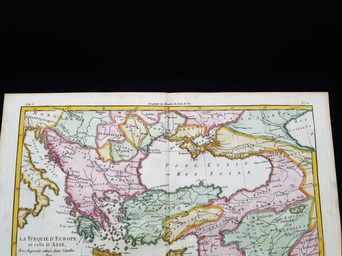
Conditions: the conditions are very good as shown in the photos.
The overall measurements of the map are: 40 x 27 cm 67532195