
Advert Description
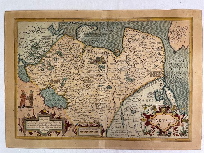
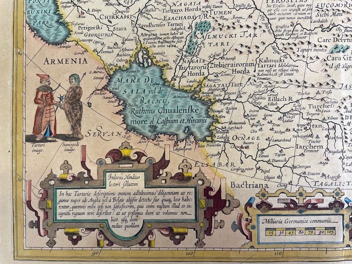
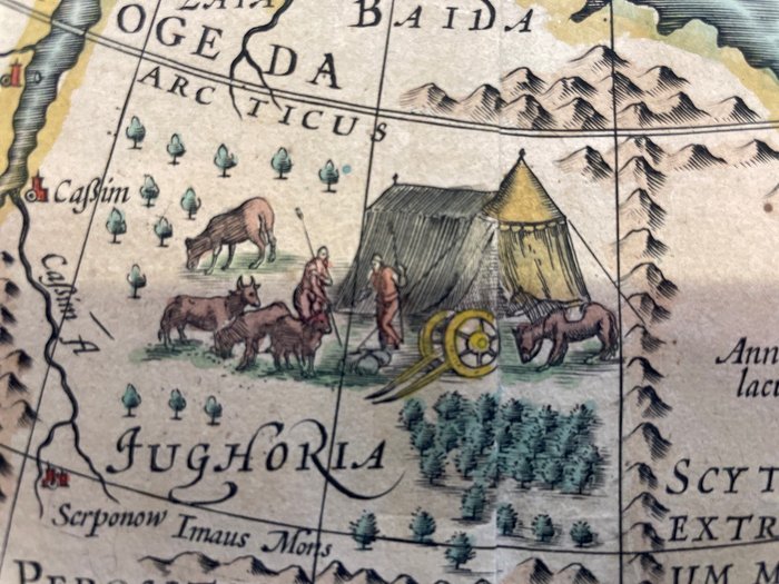
Are you interested in this item? This item is up for auction at Catawiki. Please click on "respond to advert" (orange button) to get redirected to the Catawiki website. Catawiki’s goal is to make special objects universally available. Our weekly auctions feature thousands of unusual, rare, and exceptional objects you won’t find in just any store. Tartaria. Hand colored engraved map. Jodocus Hondius
Map of Siberia, Asia, China, Korea. Double Folio Engraved Map.
1 leaf, colored, image 342 x 494 mm (420 x 547 mm sheet)
Map in good condition, without tears, clean, minimal brown stains in the margins, generally slightly darkened with light stains, reverse also partially darkened with light stains, decorated with large cartouches, a Mongolian camp and Tartars. The map shows Siberia and North Asian Russia, Central Asia including Korea as an island, ranging from Moscow in the west to the Great Wall of China in the east. A printed note in the Arctic Ocean documents the voyages of William Barents from 1594 to 1596. 67559349