
Advert Description
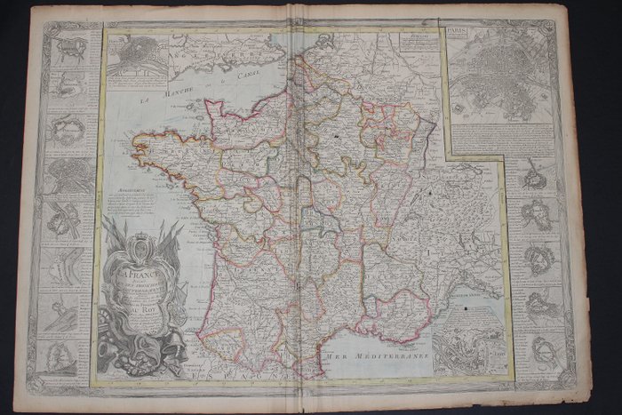
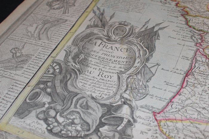
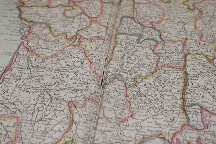
Are you interested in this item? This item is up for auction at Catawiki. Please click on "respond to advert" (orange button) to get redirected to the Catawiki website. Catawiki’s goal is to make special objects universally available. Our weekly auctions feature thousands of unusual, rare, and exceptional objects you won’t find in just any store. Map of the France divided into its main governments with all the roads of this Kingdom. Based on the observations of Messrs of the Academy of Sciences. Dedicated and presented to the Roy. Paris chez Desnos, 1782.
Period colors.
Dimensions: - Sheet: 55.5 x 77 cm
- Map: 51 x 73 cm
Condition: Photos are part of the description. Crumpled central fold: tear present in the central fold of the document with lack, also small scattered holes (visible on the photo of the back, black dots). Defects of use, slightly browned paper and more at the edge. See photos for more details.
Neat shipment in a rigid and waterproof tube. 67319451