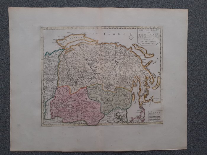
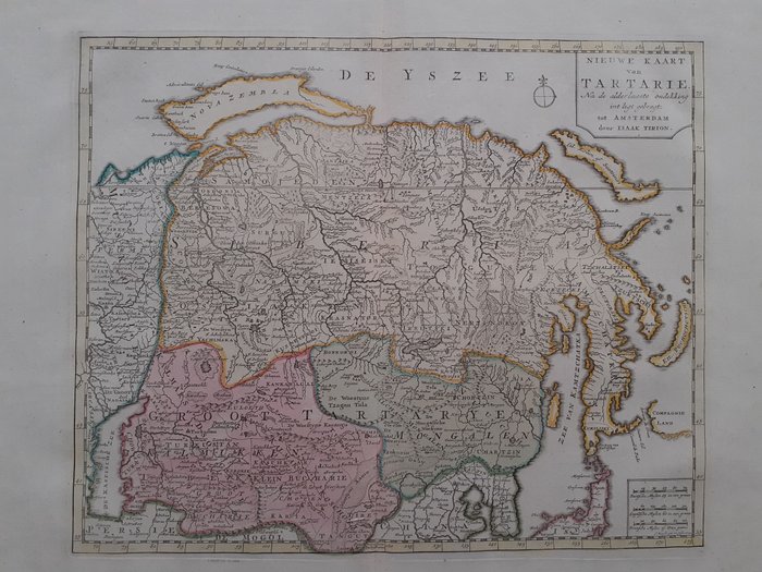
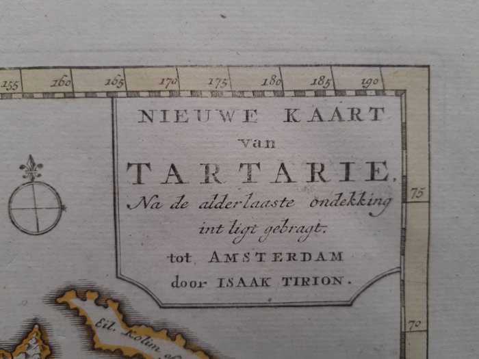
Russia, Tartarië; J. Keizer/Isaak Tirion - Nieuwe Kaart van Tartarie Na de alderlaaste ondekking in
This advert is located in and around London, NETHERLANDS
Currently displaying 1 of3 images
Advert Description
Are you interested in this item? This item is up for auction at Catawiki. Please click on "respond to advert" (orange button) to get redirected to the Catawiki website. Catawiki’s goal is to make special objects universally available. Our weekly auctions feature thousands of unusual, rare, and exceptional objects you won’t find in just any store. Copper engraving made by J. Keizer in 1732, published in "Nieuwe en Beknopte Hand-Atlas, consisting in a Collection of some of the most common and most necessary Maps", published by Isaak Tirion in Amsterdam in 1740 or later.
Tartary was a generic term used in Western European literature and cartography for much of Asia bounded by the Caspian Sea, the Ural Mountains, the Pacific Ocean, and the northern borders of China, India, and Persia, at a time that this region was largely unknown to European geographers. 67283755