
Advert Description
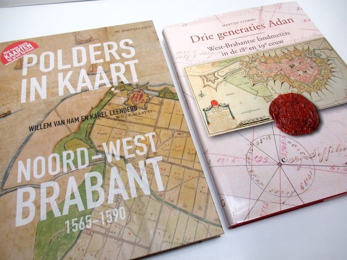
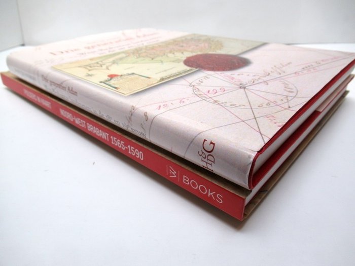
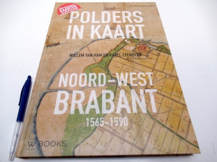
Are you interested in this item? This item is up for auction at Catawiki. Please click on "respond to advert" (orange button) to get redirected to the Catawiki website. Catawiki’s goal is to make special objects universally available. Our weekly auctions feature thousands of unusual, rare, and exceptional objects you won’t find in just any store. 1- Polders in Map North-West Brabant 1565-1590 - Willem van Ham, Karel Leenders - Zwolle, WBooks i.s.w. Kunstcommissie Waterschap Brabantse Delta, 2018 - 128 pp + 2 loose maps in facsimile - hardback - 35 × 25 cm.
As new.
Complete with 2 facsimile cards (in transparent pockets), plano size 50 x 80 cm, folded to 25 x 20 cm.
2- Martijn Storms, incl. Karel Leenders, Yolande Kortlever, Luc Janssens and Joss Hopstaken - Three generations of Adan. Surveyors of West Brabant in the 18th and 19th century - 't Goy-Houten, Hes & De Graaf Publishers, 2008 - 284 pp - hardcover with dust jacket - 31.8 x 23.3 cm.
As new.
Overview work including an annotated cartobliography of more than 1000 maps, which have been produced by the various land surveyors Adan.
(total: 2
Weight together: 3.2 kg) 67056589